
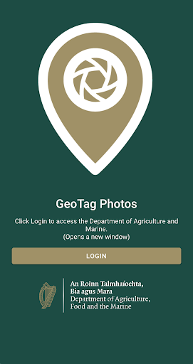
Features AgriSnap
AgriSnap is the Department of Agriculture Food & Marine (DAFM) geotagged photograph application (app) for use on smartphones.
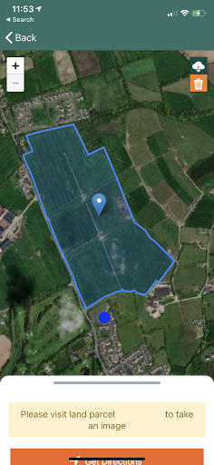
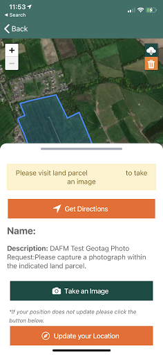
AgriSnap enables users to take geotagged photographs using their smartphone and submit them securely to DAFM in an efficient and secure manner.
A geotagged photograph is one that contains the GPS location co-ordinates of the position of where the photo was captured and mobile device details.
The location information (latitude/longitude co-ordinates) and mobile device details is stored in the properties of the photo and allows DAFM to locate the photo to an agricultural parcel.
DAFM may request AgriSnap photos from farmers to resolve queries that may arise for certain schemes or to support applications.To use the AgriSnap app on your smartphone you must be registered on www.agfood.ie for online services.
If you are not registered, you can register on www.agfood.ie .AgriSnap Data Privacy notice is available to view here:https://www.gov.ie/en/collection/be6db-data-protection-privacy-notices/#agri-snap
Camera Features
Advanced camera features with editing capabilities.
Fitness Tracking
Track your workouts and monitor your health metrics.
Travel Features
Plan and manage your travels with ease.
See the AgriSnap in Action
Get the App Today
Available for Android 8.0 and above